Tumpak Sewu Waterfall Explained: The Thousand Waterfalls Landscape
What You Need to Know
- 📍 Location: Sidomulyo Village, Pronojiwo, Lumajang, East Java.
- 📐 Height: Approximately 120 meters (394 feet).
- 🌋 Geological Origin: Formed by glacial melt and river runoff from Mount Semeru.
- 🚶 Difficulty: Moderate to challenging (steep, slippery descent).
- 🗺️ Best For: Landscape photographers and adventure seekers.
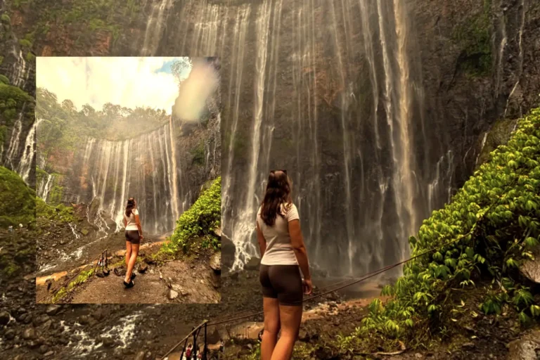
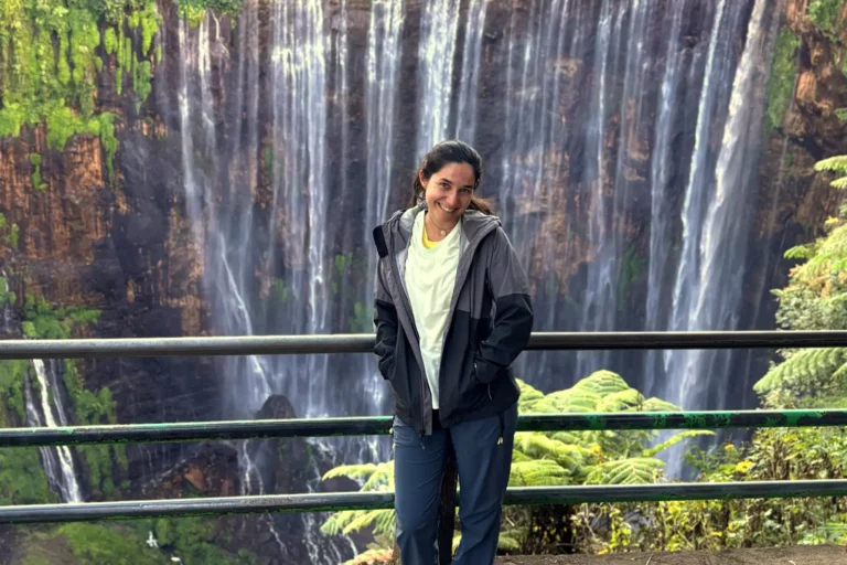
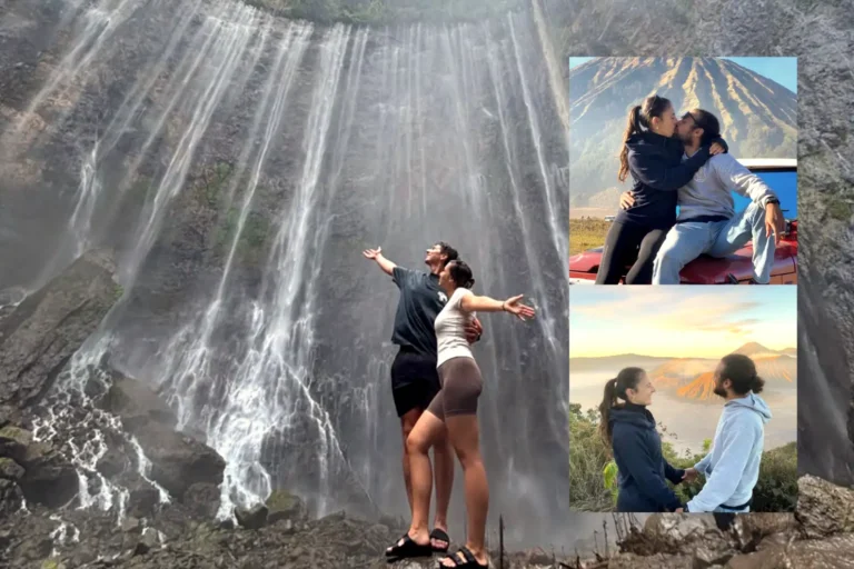
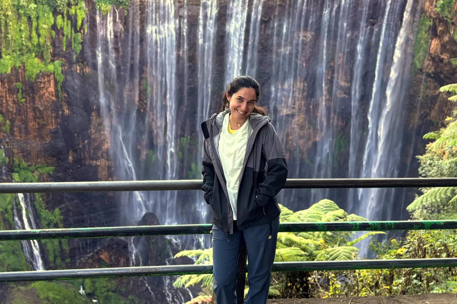
Tumpak Sewu Waterfall stands as Indonesia’s most impressive curtain-style cascade, characterized by hundreds of distinct water streams dropping into a semi-circular canyon.
Located in the Lumajang Regency of East Java, this natural wonder sits directly under the shadow of Mount Semeru, the island’s highest volcano.
Travelers can easily secure their spot for an expert-led adventure by visiting the Book Your Tour portal to ensure professional local guidance through the technical terrain.
Table of Contents
The Meaning of Tumpak Sewu
Javanese linguistics play a significant role in understanding the identity of this Tumpak Sewu Waterfall landmark.
“Sewu” translates directly to “thousand,” referring to the countless white ribbons of water that bleed over the cliff edges.
Local villagers believe the name signifies the endless abundance of the natural ecosystem surrounding the Glidik River.
Because the water originates from various tributaries, the volume remains relatively consistent throughout the year.
Despite the dry season, the “thousand” streams rarely disappear, though they turn a brilliant turquoise during periods of low rainfall.
Inhabitants of Lumajang often treat the site with reverence, as the water feeds the agriculture of the entire Pronojiwo district.
Why is it called Thousand Waterfalls?
Aerial photographers were among the first to reveal the true scale of the site’s complexity.
From above, the waterfall resembles a giant green heart, with water pumping through veins into a deep, misty center.
Small springs emerge directly from the rock face itself, adding to the layers of the curtain beyond the main river flow.
Formation and Volcanic Geology
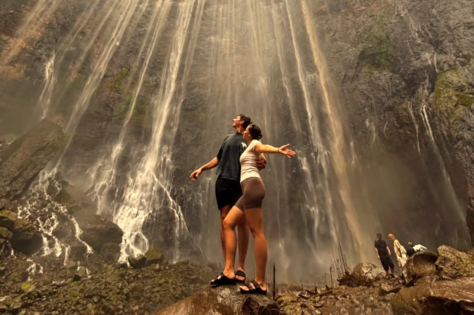
Volcanic activity from Mount Semeru fundamentally dictated the Tumpak Sewu waterfall formation over millennia.
Lava flows and pyroclastic deposits created the dense basalt walls that form the semi-circular amphitheater.
Erosion from the Glidik River eventually carved the deep gorge, slicing through the volcanic strata to expose the vertical cliffs we see today.
Sedimentary layers visible in the rock face tell a story of thousands of years of eruptions and seismic shifts.
Porous volcanic rock allows groundwater to seep through the cliffside, creating the unique “weeping wall” effect.
These springs ensure that the waterfall retains its lush, green ecosystem even when the main river levels drop.
🔥 Featured Expedition
Maximize your East Java adventure by combining the “Thousand Waterfalls” with the active craters of Bromo and Ijen. This all-inclusive trek is designed for those who want to see it all without the stress of logistics.
The Waterfall Structure
Structural integrity of the Tumpak Sewu canyon depends on the hard basaltic rock resisting the constant hydraulic pressure of the falls.
Measuring over 100 meters in width, the lip of the falls creates a dramatic drop into a basin often shrouded in heavy mist.
Moisture levels are so high within the canyon that moss and ferns cover nearly every inch of the vertical landscape.
Safety remains a priority when examining the Tumpak Sewu waterfall structure, as the trails are often carved directly into the cliff.
Flash floods are a realistic risk, particularly during the monsoon season when the Glidik River can swell rapidly.
Hikers should always check local weather reports before committing to the descent into the canyon floor.
The Surrounding Volcanic Landscape
Looking up from the valley floor reveals the sheer magnitude of the Semeru ecosystem.
Smoke from the volcano occasionally drifts over the horizon, providing a stark contrast to the white water and green jungle.
This proximity to an active volcano makes the soil incredibly nutrient-dense, supporting a diverse range of tropical flora.
Panoramic Viewpoints vs. The Valley Floor
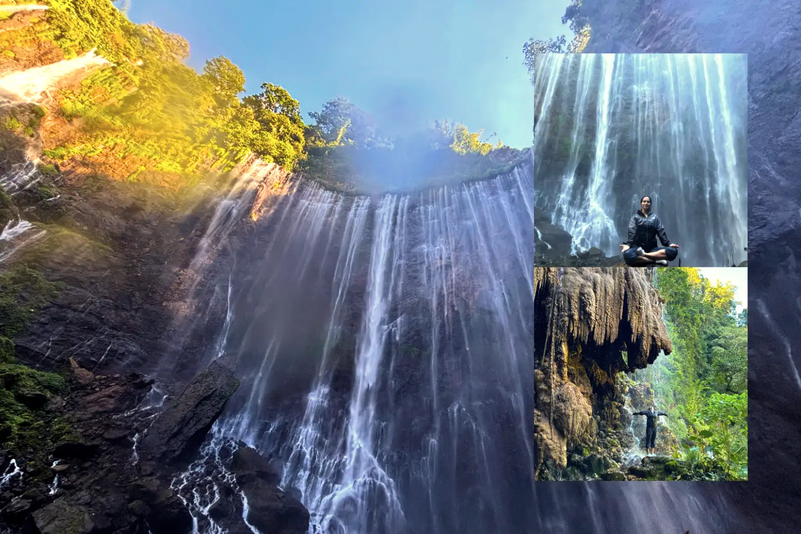
Two distinct experiences define a visit to this site: the Sidomulyo viewpoint and the riverbed trek.
The panoramic rim offers the iconic “drone-like” view where the entire semi-circle is visible in one frame.
Photography enthusiasts usually prefer the early morning light here to capture the mist rising from the gorge.
Descending to the bottom requires navigating bamboo ladders and river crossings.
Reaching the base allows you to feel the true power of the water streams crashing onto the rocks below.
When planning your trip, consider how many days you need for Bromo and Ijen, as Tumpak Sewu adds a full day of physical exertion to your itinerary.
Timing and Light Factors
Morning light typically hits the falls between 7:00 AM and 9:00 AM.
Shadows begin to swallow the canyon floor by early afternoon, making photography significantly more difficult.
The best time to visit for clear skies is between May and September, during the Indonesian dry season.
Who Should Skip This Trip?
Adventurers with limited mobility should generally avoid the trek to the valley floor.
Bamboo ladders are steep and can be slippery even on dry days, requiring significant upper-body strength and balance.
Parents traveling with toddlers may find the terrain too hazardous for safe passage without constant carrying.
Individuals with severe vertigo might find the panoramic viewpoint overwhelming.
Fences are present, but the sheer 120-meter drop is visible from almost every angle of the rim.
If you prefer a relaxing, low-impact stroll, this specific Lumajang attraction may prove more stressful than enjoyable.
Continue Your Adventure
If the mist and power of Tumpak Sewu have ignited your wanderlust, East Java has much more to offer. You might consider a multi-day tour from Surabaya to Bali that hits all the major peaks. For those on a tighter schedule, the 4-day volcanic circuit provides a perfect balance of waterfalls and craters. Nature lovers often extend their stay with the Sukamade turtle sanctuary addition. If you are starting from Central Java, check the Yogyakarta to Bali route or the Yogyakarta to Surabaya connection for seamless transit.
Why Trust This Guide?
Our team spent years navigating the trails of East Java to provide accurate, ground-level data.
We prioritize real-world logistics over generic travel descriptions to ensure your safety and enjoyment.
By partnering with local guides in Lumajang, we stay updated on trail conditions and seasonal changes that AI or distant writers often miss.
Frequently Asked Questions
1. How long does the hike to the bottom take?
Most travelers take about 30 to 45 minutes to descend and an hour to climb back up, depending on fitness levels.
2. Can I fly a drone at Tumpak Sewu?
Yes, but be cautious of the heavy mist and strong wind currents within the canyon that can affect flight stability.
3. Do I need a guide for Tumpak Sewu?
While you can go solo to the viewpoint, having a guide for the canyon floor is highly recommended for safety during river crossings.
4. What shoes are best for the trek?
Waterproof hiking sandals with good grip are the best choice, as you will be walking through water and over slippery rocks.
5. Is Tumpak Sewu open during the rainy season?
The viewpoint usually remains open, but the trail to the bottom may close temporarily during heavy rain due to flood risks.
Ready to Witness the Thousand Waterfalls?
Don’t leave your East Java adventure to chance. Book a professional expedition and see Tumpak Sewu with the experts who know every hidden corner of the canyon.