The Geological History of Tumpak Sewu: How Volcanoes and Water Carved the Gorge
What You Need to Know
- Primary Cause: A combination of Mount Semeru’s volcanic debris and aggressive river erosion from the Glidih River.
- Rock Type: Dominated by volcanic breccia and andesitic layers formed over thousands of years.
- Formation Shape: A unique semicircular “curtain” caused by the widening of the gorge through vertical cliff erosion.
- Location: Situated in the Pronojiwo district, Lumajang, directly in the path of Semeru’s southern drainage.
Table of Contents
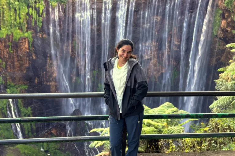
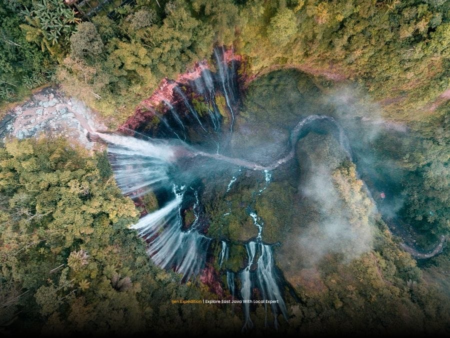
Tumpak Sewu sits as a monumental scar on the landscape of East Java, revealing the violent history of the region. This massive semicircular waterfall is not merely a scenic spot but a complex geological record of volcanic activity and hydraulic power. Understanding its formation requires looking north toward the smoking peak of Mount Semeru.
Most visitors see a “curtain” of water, yet geologists see a massive drainage basin carved into volcanic deposits. The Tumpak Sewu waterfall exists because the land literally gave way to the relentless flow of water from the Glidih River. This river originates from the high slopes of Indonesia’s most active volcano.
Gravity drives the water over a 120-meter drop into a deep, amphitheater-like canyon. The sheer scale of the gorge suggests that the erosion process has been occurring for millennia, aided by the relatively soft nature of volcanic rock layers. Without the constant replenishment of sediment from Semeru, the landscape would look drastically different.
The Volcanic Origins of the Escarpment
Mount Semeru plays the role of the primary architect in this landscape. For centuries, the volcano has ejected ash, pyroclastic flows, and lava that settled in the surrounding valleys. These deposits eventually hardened into layers of volcanic breccia and tuff, creating the vertical cliffs we see today.
The East Java volcanic landscape is characterized by these thick layers of loose material. In the Pronojiwo area, these layers reached significant depths before the river systems began their work. Heat and pressure from subsequent flows compacted these sediments, but they remain susceptible to the power of moving water.
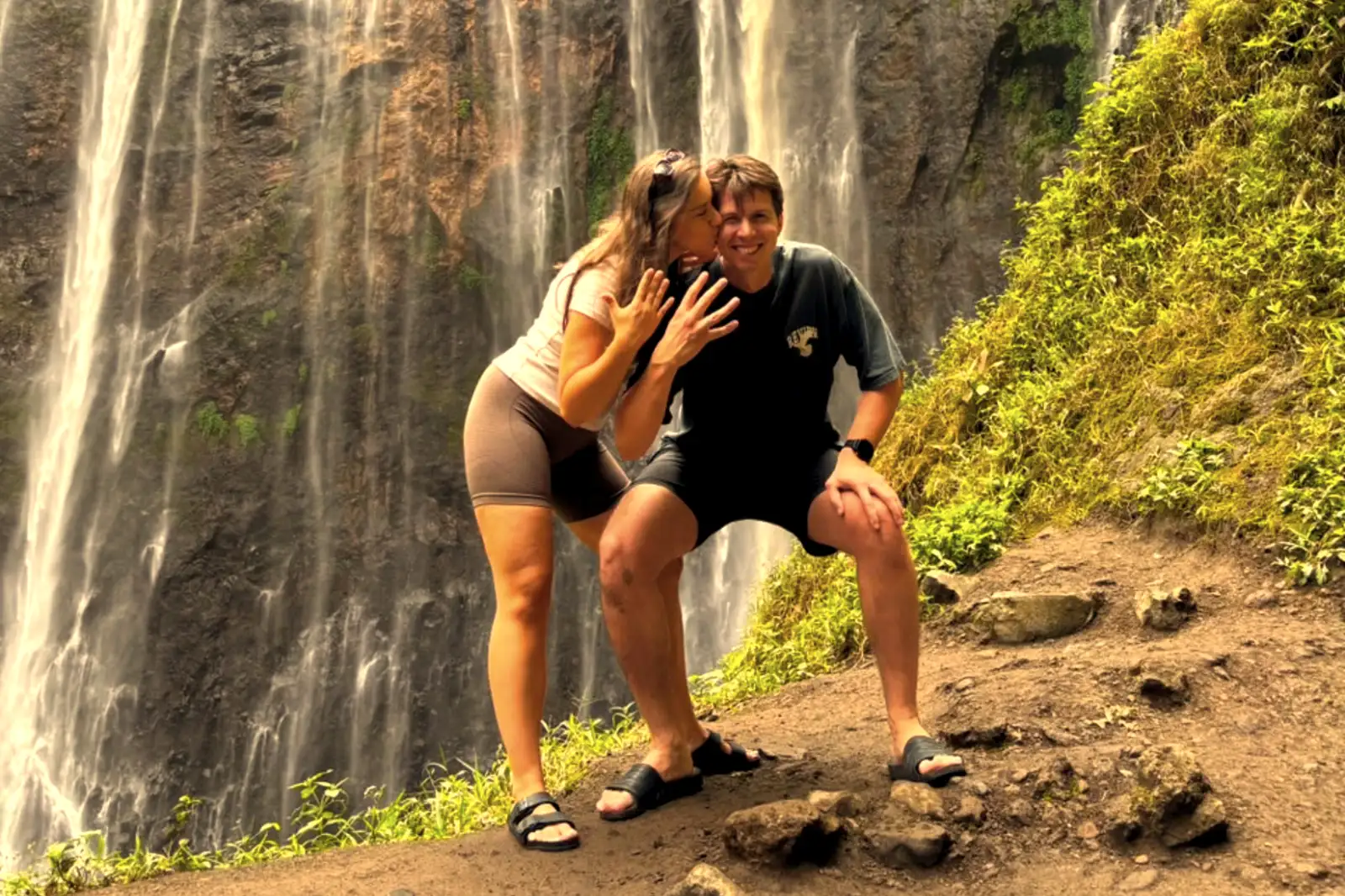
Large boulders often become trapped within the softer ash layers during eruptions. These inclusions create an uneven texture on the cliff face, which influences how the water breaks as it falls. Consequently, the “thousand” individual streams are the result of water finding the paths of least resistance through these volcanic rocks.
Pro Field Tip:
If you visit after heavy rain, notice the color of the water. Darker, chocolate-brown water indicates fresh volcanic silt being washed down from Semeru’s summit, a process that continues to reshape the gorge floor every season.
How Water Sculpted the Thousand Falls
Hydraulic action is the primary force behind the canyon’s semicircular shape. As the Glidih River flows south, it encounters a sudden drop-off in the terrain where the volcanic plateau ends. The force of the falling water creates a “plunge pool” at the base, which eventually undercuts the cliff face.
Erosion at Tumpak Sewu is not a slow, steady process; it happens in bursts. During the monsoon season, the river’s volume increases exponentially, carrying abrasive volcanic sand and rocks. These materials act like sandpaper, grinding away at the base of the cliffs and causing large sections of the wall to collapse occasionally.
🔥 Featured Expedition
See the geological wonders of East Java with a professional guide who knows the safest routes into the gorge. This all-inclusive journey covers Tumpak Sewu, Bromo, and the Ijen Crater.
The waterfall’s wide arc is a classic example of a “receding” waterfall. Over hundreds of years, the point where the water drops has moved upstream. This movement leaves behind the wide canyon walls that backpackers explore today, creating a unique microclimate inside the gorge itself.
Planning your visit requires understanding these natural cycles. A typical Bromo Ijen itinerary often includes a stop here specifically because the morning light hits the canyon walls, highlighting the different rock colors. Timing is everything when dealing with such a dynamic environment.
Analyzing the Rock Layers and Strata
Geological strata at Tumpak Sewu are visible as distinct horizontal bands on the cliff walls. The darker, denser layers are usually basaltic lava flows that cooled quickly. In contrast, the lighter, more porous sections consist of volcanic ash and pumice from explosive eruptions.
The stability of the hike depends entirely on these layers. Some paths are carved into the sturdy andesite, while others cross slippery volcanic mudstone. For those concerned about the physical demands, checking a mount bromo hike difficulty guide provides a good baseline, though Tumpak Sewu is significantly more vertical and slippery.
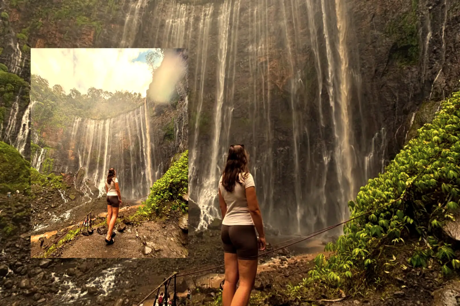
Groundwater also plays a silent role in the cliff’s appearance. Water seeps through the porous volcanic layers and emerges as “weeping” springs halfway down the cliff. This is why the entire wall appears to be leaking water, giving the site its “thousand waterfalls” name even during the dry season.
Who Should Skip This Hike?
While the geological history is fascinating, the reality of the terrain is brutal. This is not a leisurely walk in a park. People with a fear of heights or severe vertigo should avoid descending to the canyon floor, as the ladders are steep and often wet.
Families with toddlers or very young children will find the descent nearly impossible to do safely. The path involves bamboo ladders and river crossings where the current can be surprisingly strong. Travelers with limited mobility or knee injuries should stick to the panoramic viewpoint at the top.
The humidity and physical exertion can also be dangerous for those with heart conditions or severe asthma. If you are on a very tight timeline, skip the bottom trek entirely. It takes at least three hours to complete the loop, and rushing increases the risk of slipping on the moss-covered volcanic rocks.
Continue Your Adventure
East Java is home to a massive network of volcanic wonders that formed alongside Tumpak Sewu. If you want to see more of these geological processes in action, consider a Bromo Ijen Tumpaksewu tour from Surabaya to Bali. For those wanting a deeper dive into the jungle, the Bromo Ijen Tumpaksewu Sukamade tour offers a glimpse at coastal geological formations. Travelers coming from the island of the gods can easily book an Ijen Crater tour from Bali to see the world’s largest acidic lake. For the most complete experience, the Mount Bromo Tumpak Sewu Ijen tour covers the highlights of the Ring of Fire. To ensure everything is set before you arrive, always remember to book your tour with a reputable local operator.
Why Trust This Guide?
Our team consists of veteran field reporters and local experts who have spent years navigating the volcanic trails of East Java. We don’t just read about geology; we see the changes in the cliffs after every rainy season. We have coordinated hundreds of safe descents into the Tumpak Sewu gorge for travelers from across the globe.
Safety and accuracy are our core priorities. We provide realistic logistical advice based on current trail conditions and volcanic activity reports from Semeru. Avoiding booking mistakes in Indonesia is easier when you rely on data-driven insights from people who are actually on the ground.
Frequently Asked Questions
Is Tumpak Sewu still changing?
Yes, the gorge is highly active. Every major flood from the Glidih River removes more sediment and slightly alters the shape of the lower pools.
What is the best time to see the rock layers?
The dry season (May to September) is best. Lower water levels reveal the lower strata and make the climb to the base much safer.
Is the water safe to touch?
The water is generally safe but contains high levels of volcanic minerals and silt. It is not recommended for drinking.
How deep is the canyon?
The primary drop is approximately 120 meters (394 feet). The total depth of the gorge increases as you move further downstream toward the valley.
Are landslides common?
Small rockfalls are common on the cliff faces. Local guides monitor the trails daily and will close certain paths if they detect instability after heavy rains.
Explore the Ring of Fire with Experts
Don’t leave your East Java adventure to chance. Join our expert-led tours to witness the geological power of Tumpak Sewu, Bromo, and Ijen with full safety support and professional logistics.